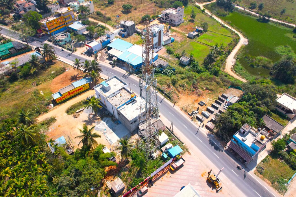
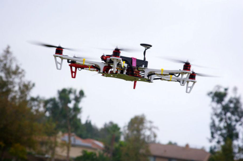
As Ludhiana continues to grow into a dynamic urban center, the demand for planned housing and infrastructure is at an all-time high. One of the most critical first steps in urban development is a detailed Drone Topography Survey and drones are now making this process smarter, faster, and more precise.
A Drone Topography Survey for Proposed New Colonies in Ludhiana offers planners, architects, and government bodies accurate 3D models of land surfaces—critical for making data-driven decisions before construction begins.

What is a Drone Topography Survey?
A topographic survey maps the terrain, elevation, contours, and existing features (like trees, drainage lines, roads, and built-up areas) of a land parcel. When done with drones, this survey becomes highly accurate, less time-consuming, and more cost-effective compared to traditional methods.
Why Drone Topography Survey for Ludhiana?
Drone-based surveys use high-resolution aerial imagery and GPS data to create accurate digital elevation models (DEMs) and contour maps. These tools are essential for:
- 🚧 Planning roads and drainage systems
- 📐 Plot division and infrastructure layout
- 🛑 Identifying natural obstacles and elevation changes
- 📊 Accelerating approvals with visual data support
Key Benefits of Drone Surveys in Urban Planning
| Advantages | Impact |
|---|---|
| High Accuracy (cm-level) | Precise land measurement and planning |
| Rapid Data Collection | Survey large areas in hours, not days |
| Cost-Efficient | Reduces labor and rework costs |
| Safe & Non-Intrusive | No need to disturb landowners or the environment |
| Digital & Shareable Outputs | Easy coordination with architects and authorities |
🏗️ Real-World Application: Ludhiana’s New Colonies
For proposed colonies in South Ludhiana and Ferozepur Road extensions, drone surveys are already streamlining pre-construction planning. Developers are using this data for faster layout approvals and improved infrastructure design—cutting project timelines by up to 30%.
How It Works
- Flight Planning: Drone path is mapped with GPS
- Aerial Data Capture: High-res images and geotags collected
- 3D Modeling & Mapping: Data processed into topographic maps
- Planning Insights: Planners use maps for zoning, roads & drainage
✅ Conclusion
A Drone Topography Survey is not just a faster way to survey land—it’s a smarter way to build the future. In Ludhiana, where space is limited and demand is growing, drone mapping is enabling accurate planning, faster approvals, and better urban design. For new colony development, it’s a step toward a more modern, efficient, and sustainable city.

