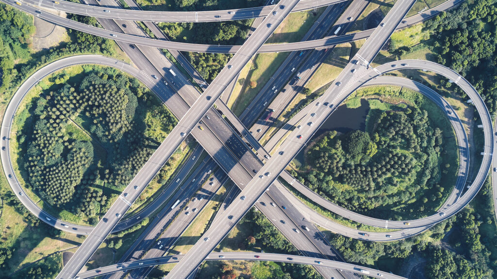
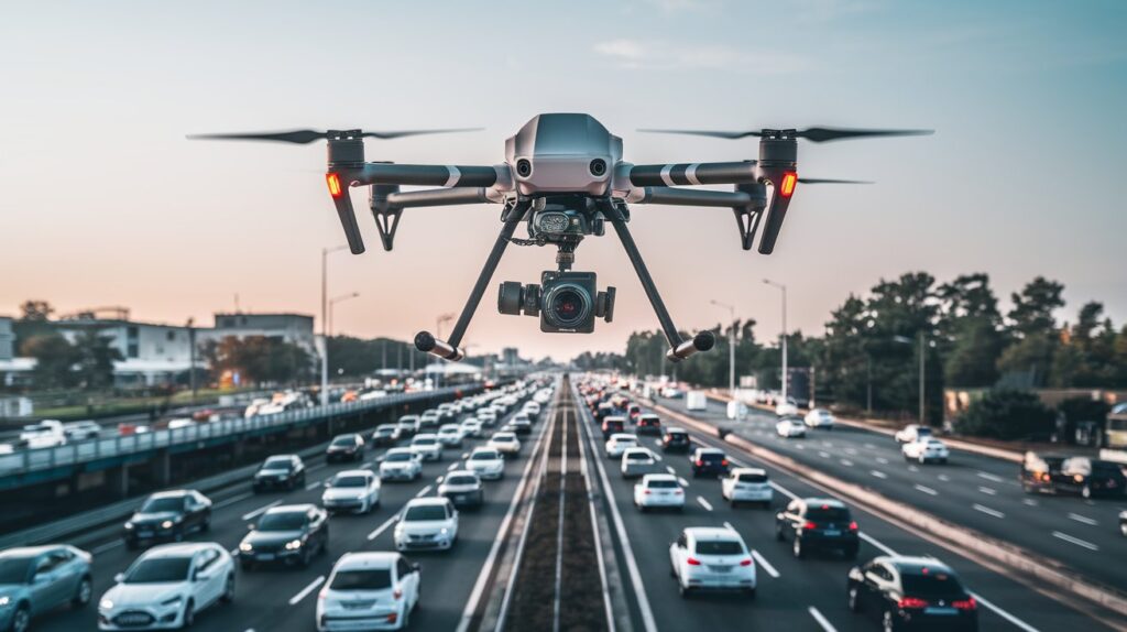
In the age of rapid infrastructure development, transparency, speed, and precision are essential—especially when it comes to monitoring massive public projects like national highway construction. In Uttar Pradesh (UP), one of India’s infrastructure hotspots, a new tool is making this easier and more effective: drone videography.
From bird’s-eye views to detailed progress tracking, drone technology is revolutionizing how highway construction and maintenance are monitored. In this blog, we explore how drones are transforming highway progress reporting in UP and beyond.

🚁 Why Use Drones for Highway Monitoring?
Traditional monitoring methods involve manual field visits, reports, and scattered photographs. While functional, they often lack real-time visual clarity and can be time-consuming and resource-heavy.
- Real-time aerial footage
- High-resolution imaging and videos
- Precise GPS tagging
- Remote access to live updates
These benefits make drones indispensable for engineers, project managers, and government bodies overseeing national highway projects.
Common Use Cases Across UP’s Road Projects
Uttar Pradesh has seen a boom in infrastructure projects including:
- Muradabad To Kashipur Highway
- Shahjapur to Hardoi
- Deoria Bypass
Drone videography is now integrated into these projects for monthly updates, quality checks, and digital documentation.
Key Benefits for Highway Development in UP
- Quick Decision-Making: Visual data supports faster site decisions during review meetings.
- Accurate Documentation: Each flight provides timestamped records for DPR validation and audits.
- Remote Oversight: Government officials can monitor progress without visiting the site physically.
- Dispute Resolution: Visual proof helps resolve contractor disputes and billing issues fairly.
Why Use Drone Videography for Monitoring Highway Projects?
- 🎥 Real-Time Visual Insights
- 🕒 Time & Cost Efficiency
- 🔍 Enhanced Quality Contro
- 🧾 Transparent Reporting
Conclusion
Drone videography is proving to be a game-changer for infrastructure monitoring in India. In UP, where large-scale highway projects are reshaping connectivity, the ability to track and document work visually is a major asset. From fast-tracking approvals to maintaining transparency, drones are paving the way for smarter, faster, and more reliable project management.

