About Us
What We Offer
Why Choose Drone-Based LiDAR, Thermal & Visual Sensor Surveys
🔷 LiDAR Survey
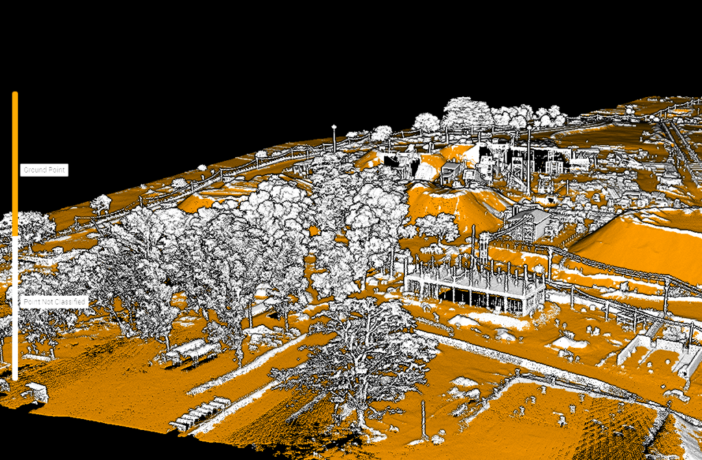
- High-precision 3D mapping using laser pulses
- Penetrates vegetation and complex terrain
- Ideal for topography, corridor mapping, flood zones
- Accurate Digital Elevation Models (DEMs)
- Excellent for forestry, mining, and infrastructure projects
🔥 Thermal Imaging
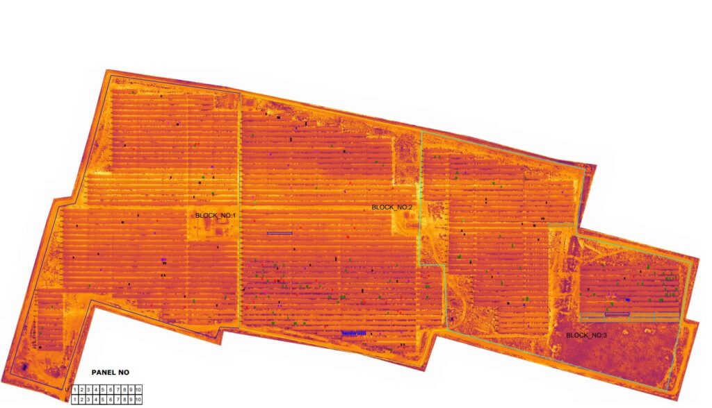
- Detects heat anomalies invisible to the naked eye
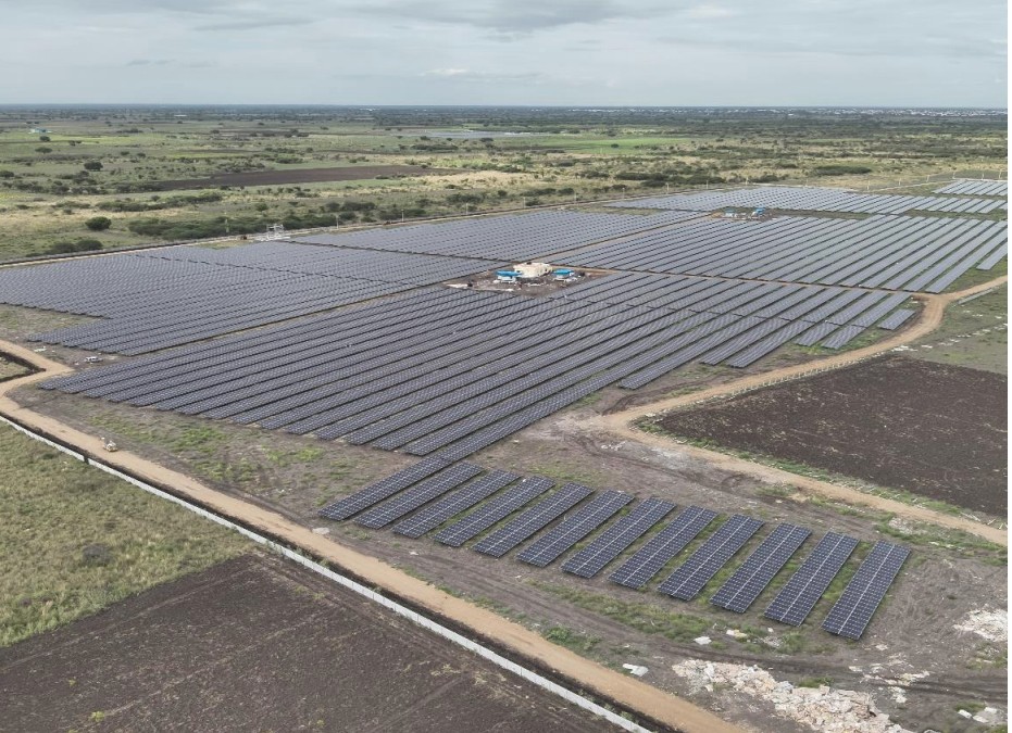
- Solar panel inspections (hotspot detection)
- Electrical system diagnostics (overheating equipment)
- Building energy loss analysis
- Useful for search & rescue in low visibility
📷 Visual Sensors
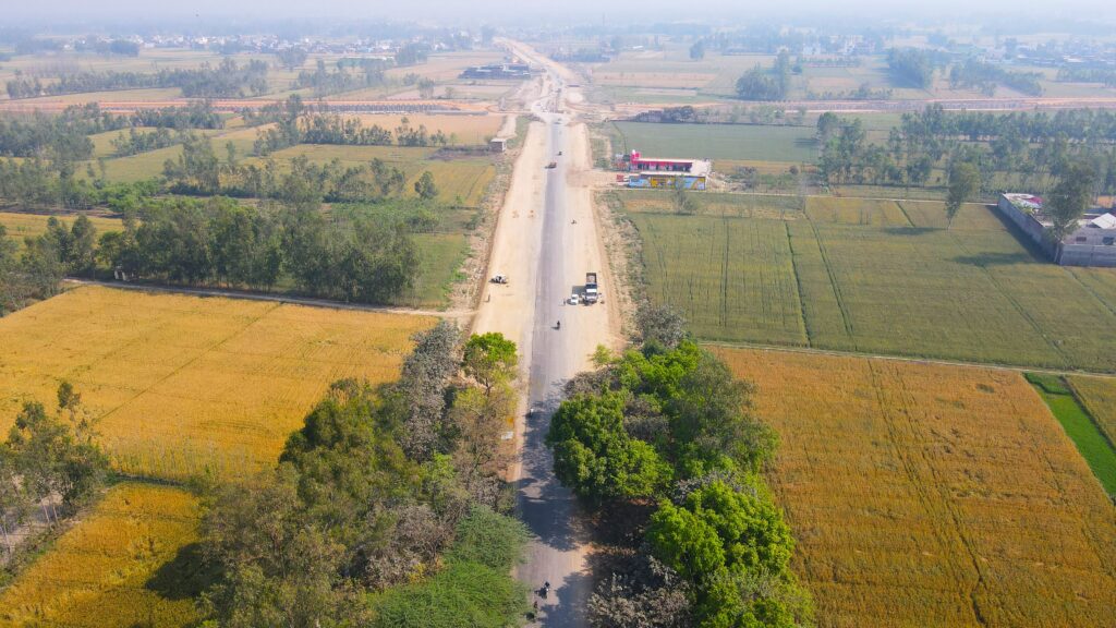
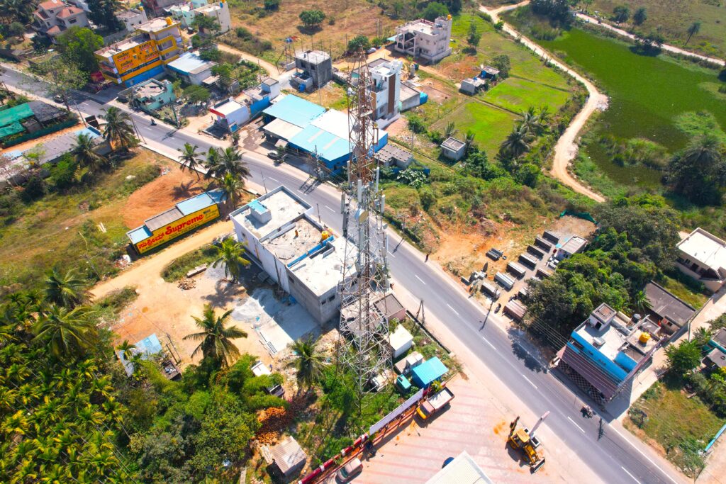
- High-resolution images and video from above
- Real-time monitoring and inspections
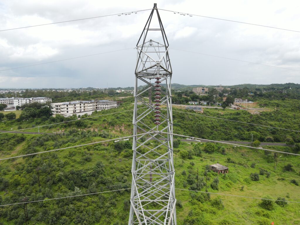
- Infrastructure condition assessment
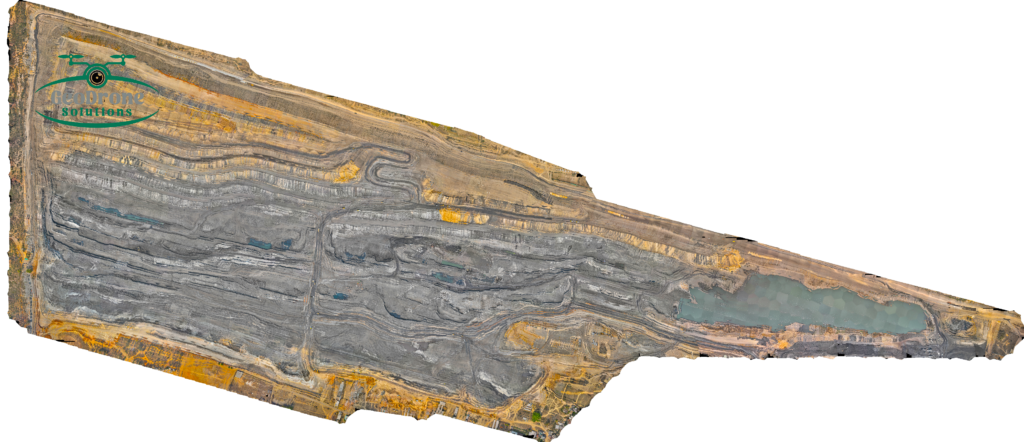
- 2D/3D photogrammetry and Orth mosaic map
- Crop health analysis and land monitoring
✅ Key Benefits
- Multi-sensor integration for complete situational data
- Faster, safer, and more cost-effective than manual surveys
- Access to hazardous or unreachable areas
- Real-time insights and faster decision-making
- Scalable for small and large-scale projects

