Mininig

“Unleashing Efficiency from the Sky: Elevate Your Mining Operations with Drone-Precision Volumetric Measurements.”
The use of drones for surveying mines and conducting volumetric measurements of stockpiles offers several significant advantages, contributing to improved efficiency, safety, and accuracy in the mining industry:
Rapid and Accurate Surveys:
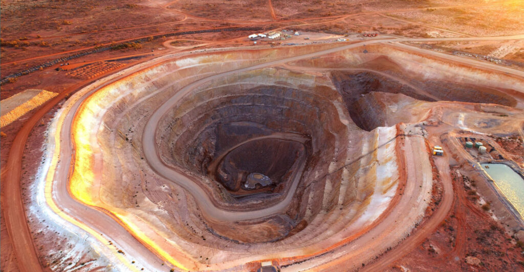
Drones can quickly survey large mining areas, providing high-resolution imagery and detailed topographical data. This rapid data collection allows for more frequent and timely assessments of the mine site.
Safety Enhancement:
Drones eliminate the need for personnel to physically traverse challenging and potentially hazardous terrains for surveying. This reduces the risk of accidents and injuries associated with ground-based surveying methods in mining environments.
Volumetric Measurement Accuracy:
Drones equipped with specialized sensors and cameras can accurately measure the volume of stockpiles. This precision is crucial for inventory management, production planning, and compliance with regulations governing mining operations.
Cost Efficiency:
Drone surveys are often more cost-effective than traditional surveying methods, as they require fewer resources and can cover large areas in a shorter time frame. This contributes to overall cost savings in mine site management.
Frequent Monitoring and Analysis:
Drones enable more frequent surveys and monitoring of mining sites, allowing for real-time analysis of changes in topography, land use, and stockpile volumes. This timely information is valuable for decision-making and operational planning.
Data Integration and Mapping:
Drone-collected data can be integrated into Geographic Information System (GIS) software, creating detailed maps and 3D models of mining sites. These maps facilitate better visualization of the terrain and help in planning and optimizing mining operations.
Environmental Impact Assessment:
Drones can assist in monitoring and assessing the environmental impact of mining activities. This includes tracking changes in land use, vegetation cover, and water bodies, helping mining companies comply with environmental regulations.
Regulatory Compliance:
Accurate and up-to-date survey data from drones aids in regulatory compliance by providing evidence of adherence to environmental and safety standards. This documentation is essential for obtaining permits and demonstrating responsible mining practices.
Time Savings:
Drone surveys significantly reduce the time required for data collection and analysis compared to traditional methods. This allows mining companies to make quicker decisions and respond promptly to changes in the mining landscape.
Remote Accessibility:
Drones can access remote or difficult-to-reach areas, providing a comprehensive view of the entire mine site. This accessibility is especially beneficial for monitoring areas that may be challenging to survey using conventional methods.
In summary, the significance of drone surveys in mines and volumetric measurement of stockpiles lies in their ability to enhance safety, accuracy, and efficiency in data collection and analysis, ultimately supporting informed decision-making and sustainable mining practices.
