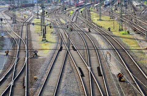
The Indian railway network is the lifeline of the nation—and any improvement to its infrastructure is a step forward for connectivity, efficiency, and safety. One such critical enhancement was recently achieved: the successful completion of a Gradient Survey on the Mathura to Agra section under the jurisdiction of North Central Railway (NCR).
This blog highlights the importance, methodology, and outcomes of this milestone project.

What is a Gradient Survey in Railways?
A gradient survey determines the slope or incline of railway tracks along a specific route. It’s an essential part of planning and upgrading railway lines for:
- Train load optimization
- Fuel efficiency
- Safety in braking and acceleration
- Track drainage design
Accurate gradient data helps engineers determine if track modifications, re-grading, or upgrading of locomotives are necessary.
Why the Mathura–Agra Route?
The Mathura–Agra rail corridor is part of a busy passenger and freight route connecting major economic hubs in Uttar Pradesh. Due to increasing traffic, higher train speeds, and the push toward modernization, a detailed gradient survey was needed to:
- Improve route performance
- Prepare for electrification upgrades
- Ensure freight train compatibility
- Support future projects like track doubling or semi-high-speed rail
Project Overview: How the Gradient Survey Was Done
✅ Scope
- Stretch Covered: Approximately 55 km between Mathura Junction and Agra Cantt.
- Authority: North Central Railway (NCR) engineering division
- Survey Type: Gradient & alignment verification using advanced techniques
✅ Methodology
- Traditional Surveying Tools: Dumpy levels and theodolites for ground truthing
- Digital Leveling: For enhanced accuracy over long stretches
- GNSS Equipment: For georeferenced data collection
- Drone Integration (optional phase): Aerial scans for terrain and curvature modeling
✅ Key Outputs
- Gradient profiles and elevation charts
- Identification of critical slope zones
- Mapping of transition gradients
- Recommendations for track improvement and signaling safety
Results and Impact
- Accurate Gradient Mapping: Provided a real-time understanding of track inclines.
- Data for Electrification Projects: Aiding in pole positioning and traction planning.
- Improved Drainage Design: Based on slope data, reducing water-logging risks.
- Foundation for Future Upgrades: Enables high-speed and double-track planning.
The survey’s completion represents a step forward in optimizing track safety, efficiency, and speed potential.
Conclusion
The successful completion of the Gradient Survey on the Mathura–Agra route marks a strategic infrastructure upgrade for Indian Railways. Backed by modern surveying techniques and a commitment to engineering excellence, this project paves the way for smoother, safer, and faster rail journeys in one of India’s most important corridors.

