
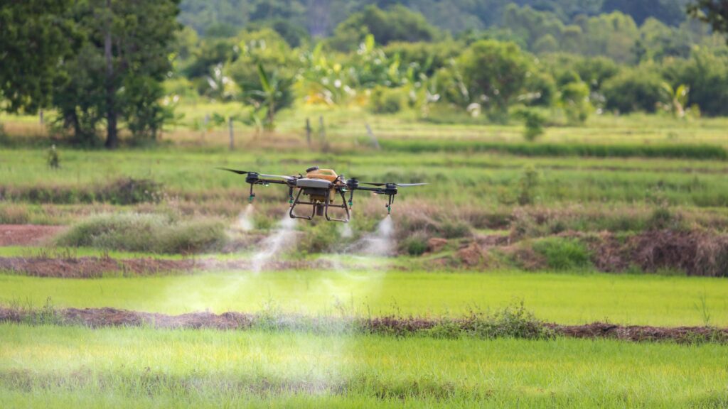
Drone Application in Irrigation: Smarter Water Management
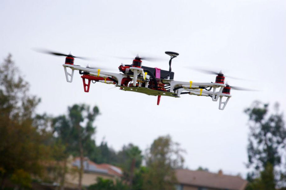
Introduction: Flying Toward Water-Efficient Farming India’s farmers face increasing pressure to use water efficiently. Traditional…
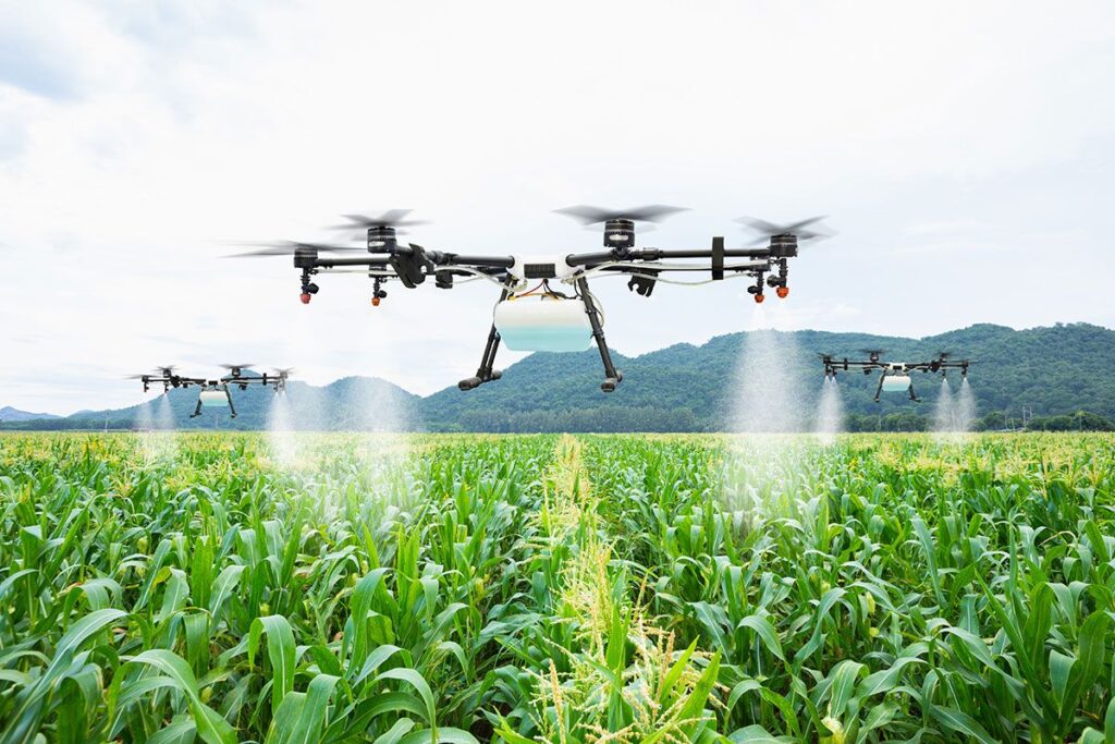
Unlocking the Potential of Drone Application in Agriculture
Introduction: A New Era in Farming Agriculture is the backbone of India’s economy but traditional…
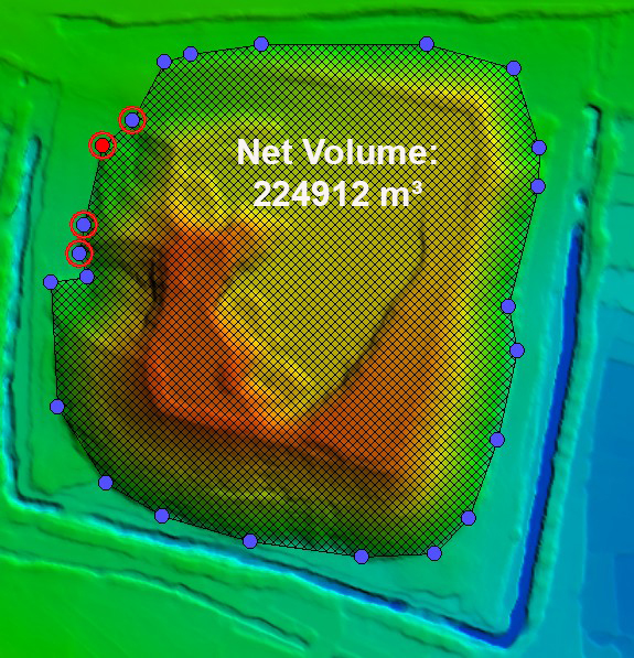
🛰️ Lidar Survey for Volume Calculation in Mining
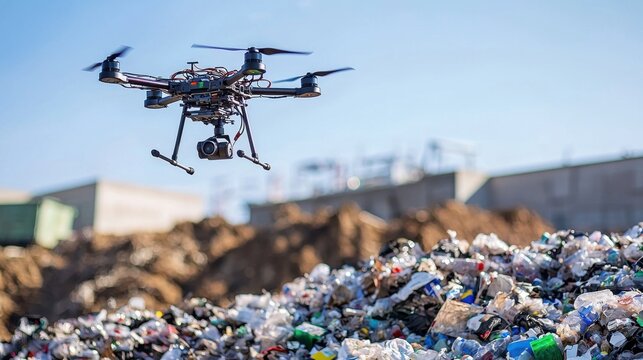
🚁 Drone Survey for Waste Dump Volume Calculation
Managing large-scale waste dumps—whether from mining, construction, or industrial activities—requires accurate volume assessment for environmental…
🚁 Drone Topography Survey for Proposed New Colonies in Ludhiana
As Ludhiana continues to grow into a dynamic urban center, the demand for planned housing…

🏭 Monitoring Maharashtra Industrial Development Project Using Drones: Smarter Oversight, Better Progress
TMaharashtra, India’s economic powerhouse, is home to several Maharashtra Industrial Development Corporation (MIDC) projects that…

🚧 Monitoring National Highway Work Progress Using Drone Videography in UP
In the age of rapid infrastructure development, transparency, speed, and precision are essential—especially when it…
🚆Successful Completion of Gradient Survey for North Central Railway
The Indian railway network is the lifeline of the nation—and any improvement to its infrastructure…
⛏️LiDAR Survey of Mines: A Game-Changer in Modern Mining
Mining is no longer just about digging deep—it’s about digging smart. The LiDAR Survey of…
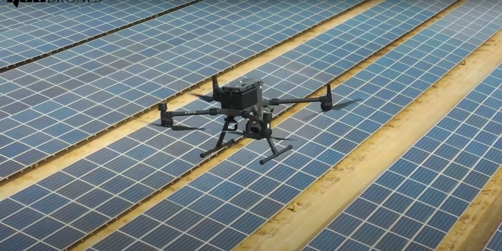
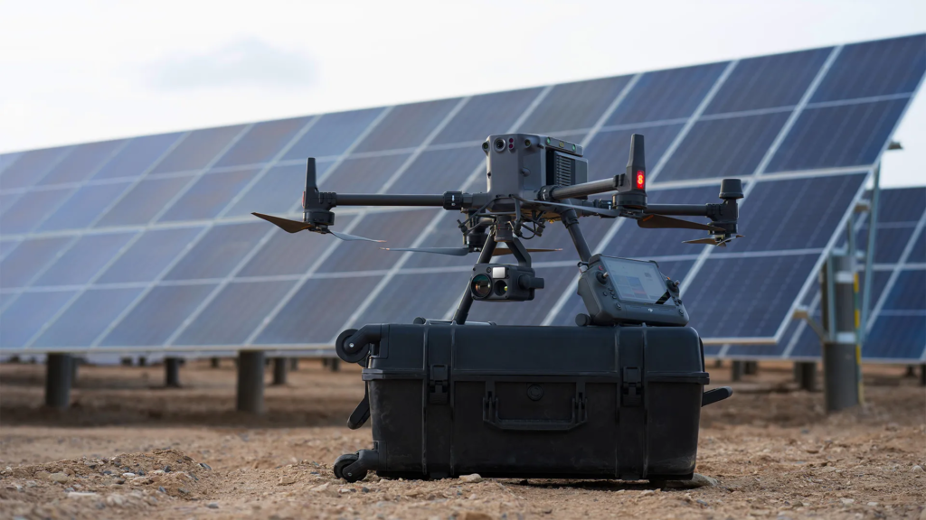
☀️ Thermography for Solar Panel Inspection Using Drones: Complete Project Breakdown
Thermography for Solar Panel Inspection Using Drones comes into play. By combining thermal imaging with…
🔥 Thermography for Power Line Inspection Using Drones: A Complete Project Overview
Power lines form the backbone of our electrical grid—but inspecting them manually is slow, costly,…